|
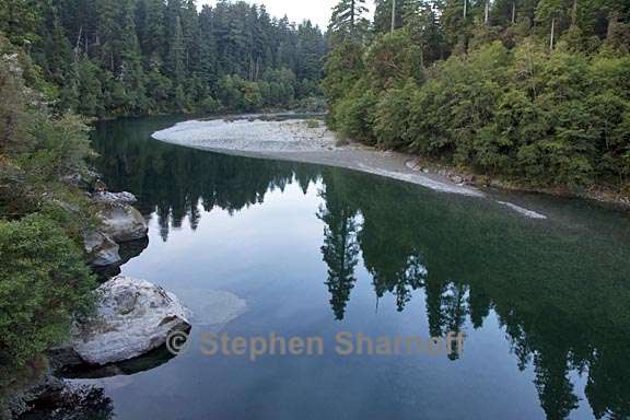
| The photos at the beginning of this page are of some rivers that are still relatively wild. In California, especially, most watercourses have been converted into a vast plumbing system primarily for industrial agriculture. The Central Valley was once a vast, seasonally wet meadow, celebrated for its wildflowers in springtime. Now it's a polluted landscape where conditions for wildlife are harsh, and conditions for the workers who raise our food crops are still inhumane. |
Image 1: A free-flowing river: the Smith River in northwestern Calfornia.
Image 2: The Smith River in northwestern Calfornia
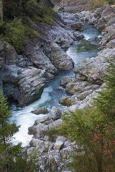
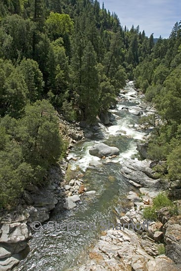
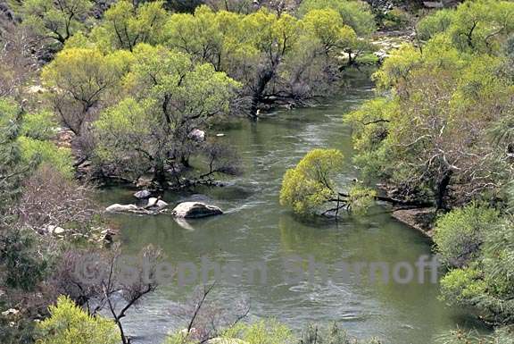
Image 3: The Clavey River flows free in this part of the central
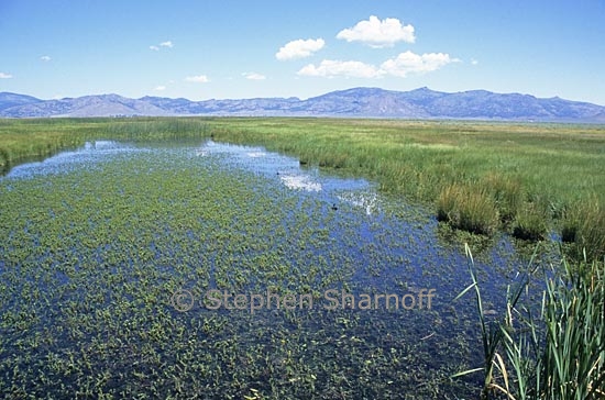
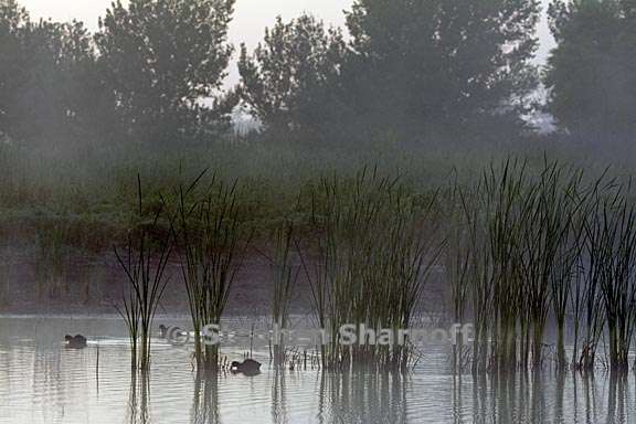
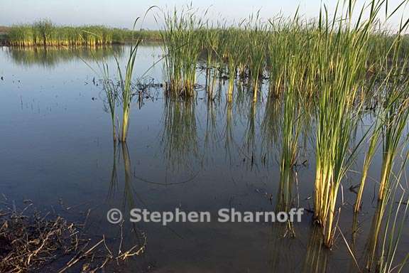
Image 4: A freshwater marsh in Sierra Valley, northern Sierra Nevada, California
Image 5: The San Luis Wildlife Refuge, a remnant of original San Joaquin Valley marsh, now almost entirely converted to industrial agriculture. Wildlife struggles to survive in a highly polluted environment.
Image 6: The San Luis Wildlife Refuge, Image 7: A riparian area along the Kern River in the foothills
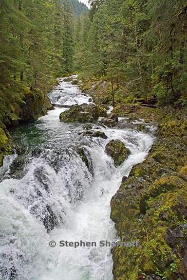
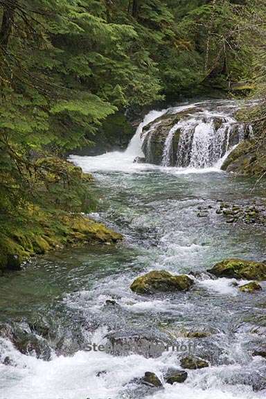
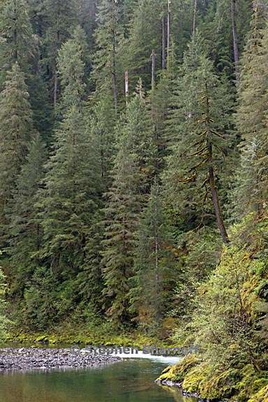
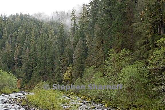
Image 8: A large stream in the Opal Creek Wilderness, Cascades, Oregon. In a region dominated by industrial logging and forest removal, this is one of the protected refuges still relatively wild.
Image 9: A large stream in the Opal Creek Wilderness, Cascades, Oregon
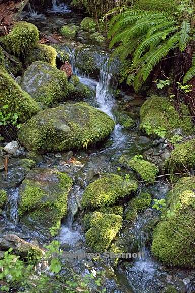
Image 10: Moss-covered rocks in a tiny stream in the Opal Creek Wilderness, Cascades, Oregon
Image 11: Moose Creek, in the Oregon Cascades. This is within the area that could become Douglas Fir National Monument
Image 12: Quartzville Creek, in the Oregon Cascades. in the Oregon Cascades. This is within the area that could become Douglas Fir National Monument
Image 13: Quartzville Creek, in the Oregon Cascades. in the Oregon Cascades. This is within the area that could become Douglas Fir National Monument
Image 14: Quartzville Creek, in the Oregon Cascades. in the Oregon Cascades. This is within the area that could become Douglas Fir National Monument
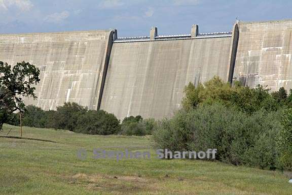
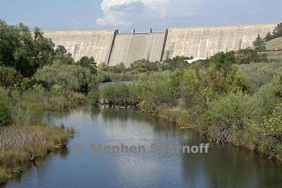
Image 15. Friant Dam, on the San Joaquin River in
Image 16. Friant Dam, on the San Joaquin River in
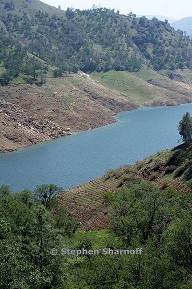
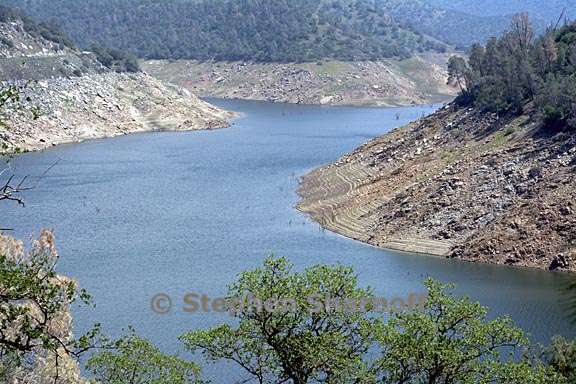
Image 17. Pine Flat Reservoir in the foothills of the Sierra Nevada,
California
Image 18. Pine Flat Reservoir in the foothills of the Sierra Nevada,
California
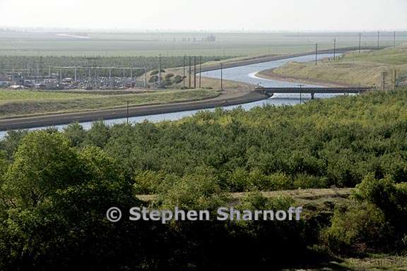
Image 19. The California Aquaduct on the west side of the Central Valley.
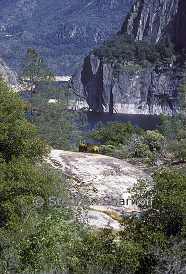
Image 20. Hetch Hetchy Reservoir, a man-made lake in Yosemite National Park, with black bears. The gray color of the cliffs is mostly due to lichens growing there, and the "bathtub ring" above the water shows where the lichens don't grow. Hetchy Hetchy Valley used to be comparable to Yosemite Valley in beauty
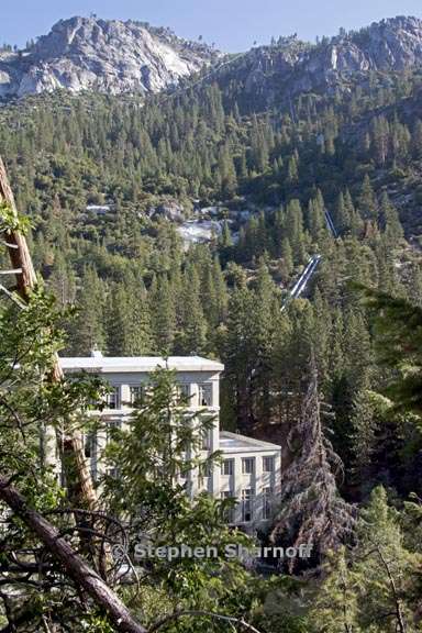
Image 21. The John E. Bryson Powerhouse in the central Sierra Nevada |
Go to: Land Use: Farms, Ranches, Cities, Dumps Back to: Environment North America |
|