|
| All of the photos are from 1990-1994; the glaciers have retreated significantly since then. |
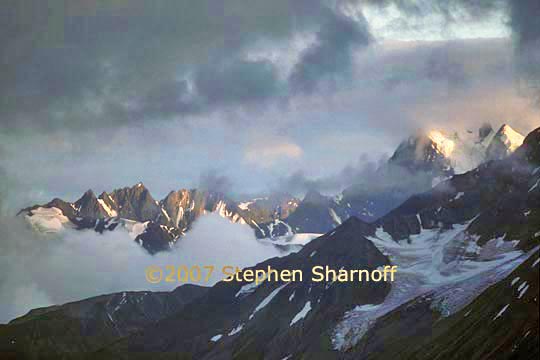
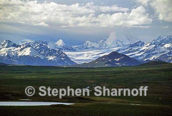
Image 1. Peaks near Chilkat Pass, north of Haines,
at the British Columbia border
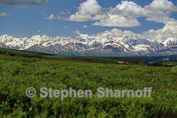
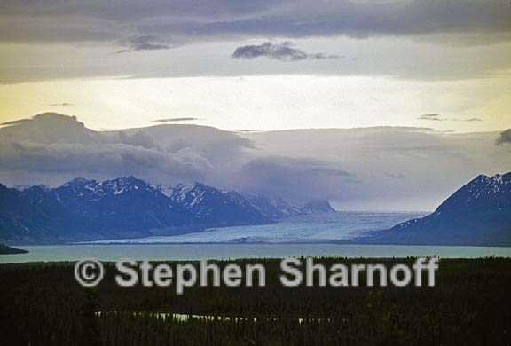
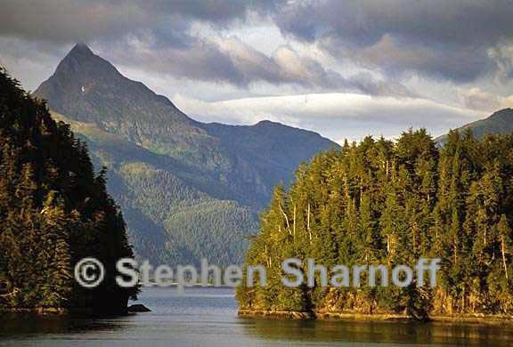
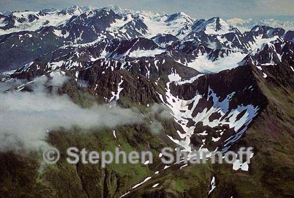
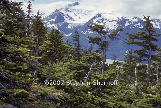
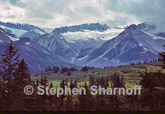
Image 2. Mountains, Southeast Alaska
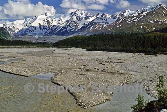
Image 3. Mountains, Southeast Alaska
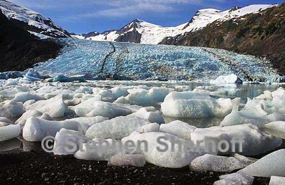
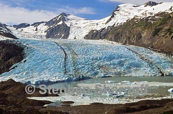
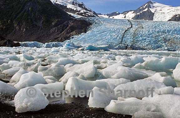
Image 4. Portage Glacier
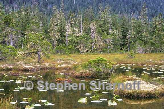
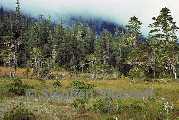
Image 5. A muskeg, Southeast Alaska
Image 6. Mountains, Southeast Alaska
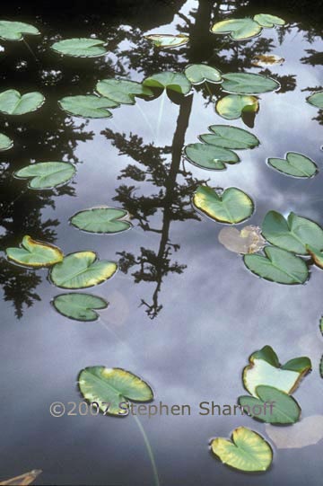
Image 7. A lily pond near Juneau
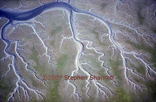
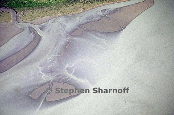
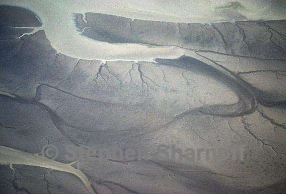
Image 8. Aerial of a tidal flat
Image 9. Mountains, Southeast Alaska
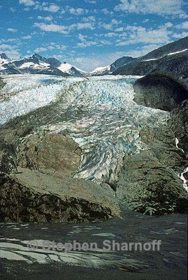
Image 10. The Herbert Glacier as seen from the air
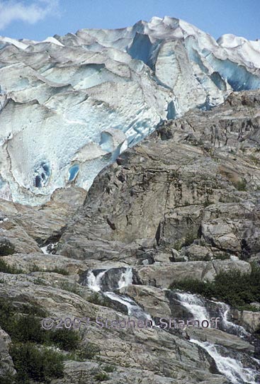
mage 11. The Herbert Glacier from the ground
Image 12. A muskeg on Mitkof Island
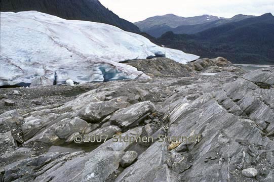
Image 13. The Mendenhall Glacier; even in the 1990's the ice was retreating.
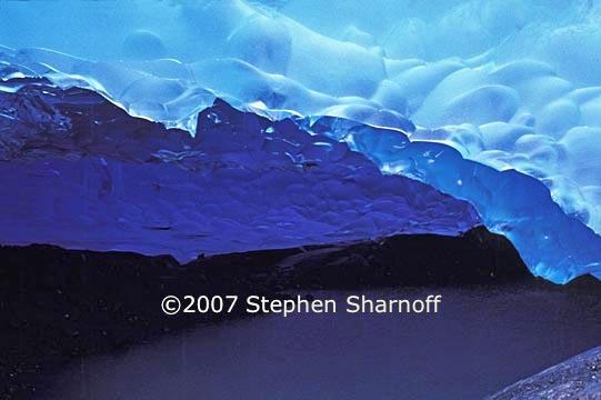
Image 14. The underside of the ice, Mendenhall Glacier; a pool of water is below.
Image 15. The Inside Passage
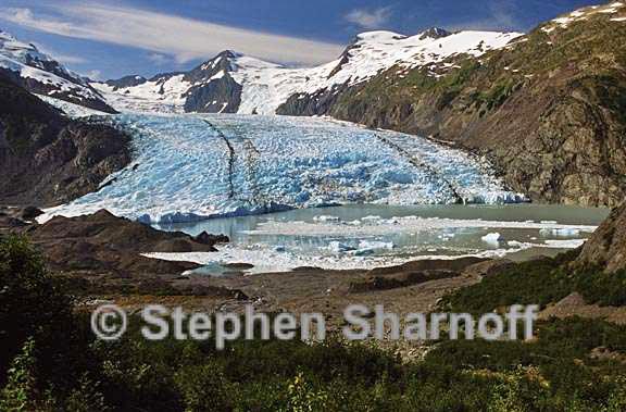
Image 16. Portage Glacier
Image 17. Portage Glacier
Image 18. Portage Glacier
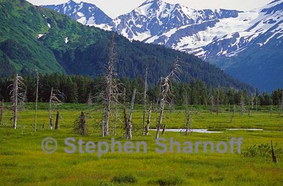
Image 19. This former forest near Portage Alaska is on land that sank several meters
Image 20. Aerial of mountains, Southeast Alaska
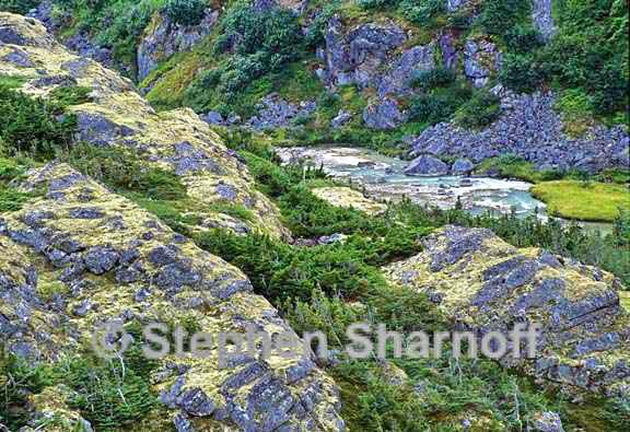
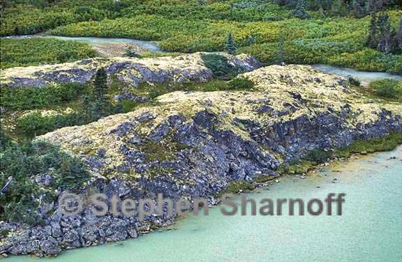
Image 21. Granite outcrops with yellow lichens, north of Haines. Image 22 Mountainside above Haines
Image 23. Aerial of a tidal flat
Image 24. Aerial of a tidal flat
Image 25. Granite outcrops with yellow lichens, north of Haines.
Image 26. Chilkat Pass, north of Haines |
Go to: Western British Columbia Back to: Scenics Index |
|